ANSIR: Research Facilities For Earth Sounding


An Ocean Bottom Seismographs being deployed from the RV Investigator in 2016. Image: Marine National Facility via Geoscience Australia.
ANSIR is a partnership of universities and government agencies in Australia and New Zealand that provides researchers with equipment and services for earth imaging across Australasia.
Equipment & Services
Discover our range of Earth imaging and sounding equipment and services including, equipment support, training, and operation:
-
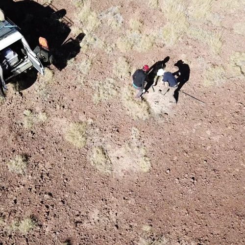
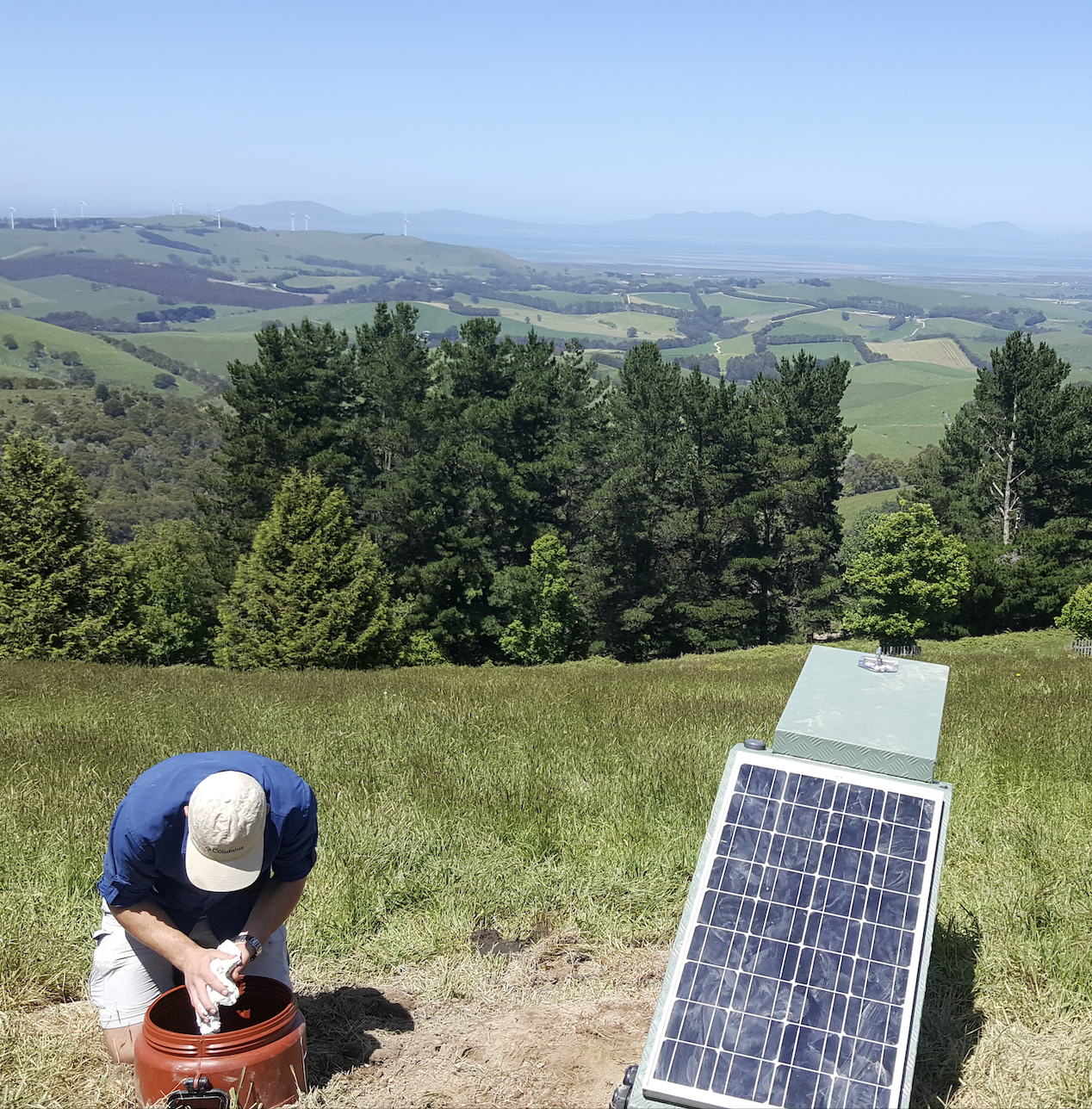
Passive seismic equipment, including short-period and broadband three-component seismometers, high-fidelity solar-powered data loggers, and portable “all-in-one” seismic nodes.
These are based at the Australian National University. Please check instrument availability here and contact Kimberley Berends for more information.
-
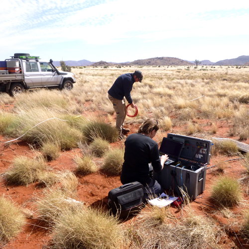
Portable electromagnetic equipment including 25 Earth data logger long-period MT sets; 20 LEMI-424 long-period MT sets; up to 25 LEMI-423 broadband MT sets; and 5 Phoenix MTU-5C ultra-broadband MT sets. 5 licences of Geotools (CGG), 5 licences of EMPower (Phoenix) and (TBA) access to CGG 3D MT Inversion software.
These are based at the University of Adelaide. Please contact Prof Graham Heinson for more information.
-
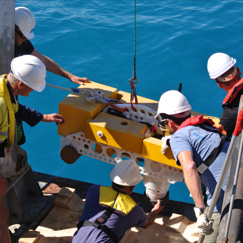
Equipment includes 5 sets of Guralp ‘Liber’ and 2 Nanometrics ‘Abalone’ broadband ocean bottom seismometers (OBS). Users must be able to support trained technical personnel and have scientific personnel with prior OBS experience on hand. Ship-time and insurance of the equipment while in transit and on the seafloor is the responsibility of the proponents of experiments.
These are based at the Research School of Earth Science, Australian National University. Please check instrument availability here.
Contact Kimberley Berends for more information.
-
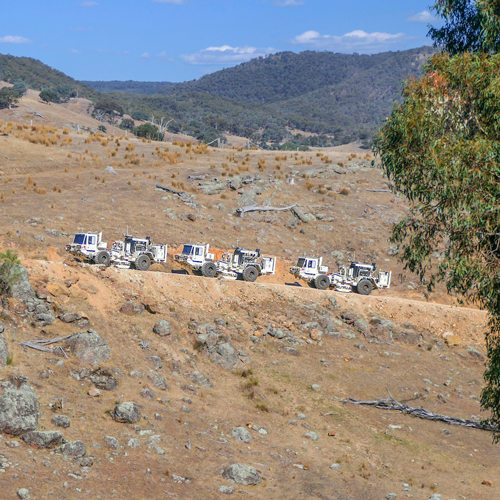
Portable petrophysical equipment, including downhole seismic equipment and earthquake aftershock recorders.
These are hosted at AuScope’s Subsurface Observatory at The University of Melbourne. Please contact Dr Dan Sandiford for more information.
-
ANSIR is able to arrange reflection experiments for a wide variety of project goals, survey parameters, logistics, permitting and licensing requirements and consequent equipment requirements.
These are based at Geoscience Australia. Please contact Marina Costelloe or Donna Cathro for more information.
Please note: demand for equipment & services is increasing, so please apply well ahead of your project timeline and consult with the scientific coordinators listed above.
Background
ANSIR was originally created as a Major National Research Facility in 1997 by Geoscience Australia and The Australian National University to encourage and assist world-class research and education in the field of seismic imaging of the Earth. In 2008 the University Of Adelaide joined with support for electromagnetic research.
Since 2007 ANSIR has operated in conjunction with the Earth Imaging component of the AuScope facility established under the NCRIS scheme. From 2011 further AuScope investment from the AGOS EIF program has provided additional equipment. ANSIR has received investment from ANU, MNRF, ARC LIEF over the years.
Equipment from ANSIR Facilities is available to all researchers on the basis of merit and instrumentation availability, as judged by the ANSIR Access Committee on the basis of a short proposal. Researchers have to meet the project operating costs and a modest mobilisation fee. Training is provided in the use of the portable equipment.
Applicants for access to ANSIR equipment and services should contact the appropriate Scientific Coordinators to first discuss their needs for prospective projects, and then prepare a formal proposal, which is submitted to the AuScope National Geophysics Program Manager, Dr Ben Kay.
SITE NAVIGATION
ANSIR Home
ANSIR Online Application
ANSIR Project Performance Report
ANSIR Acknowledgment
ANSIR Terms and Conditions
KEY CONTACTS
AuScope National Geophysics
Program Manager: Dr Ben Kay
SCIENTIFIC COORDINATORS
For portable seismic and OBS experiments: Kimberley Berends,
Australian National Uni
For electromagnetic experiments:
Prof Graham Heinson, Adelaide Uni
For petrophysical experiments:
Dr Dan Sandiford, Melbourne Uni
For reflection seismic services:
Marina Costelloe and Donna Cathro
Geoscience Australia
ANSIR PARTNERS
Geoscience Australia, AuScope, CSIRO, Australian National Uni, Uni of Adelaide, Uni of Melbourne, Uni of TAS, Uni of WA, Macquarie Uni, Uni of Auckland & Victoria Uni (Wellington).