Australian Seismometers In Schools:
A Pathway For Emerging Geoscientists
Year 10 students from Canberra schools are using 3D goggles for smartphones to visually experience seismology fieldwork and landscapes during Girls into Earth and Marine Sciences (GEMS) event in 2018. Image: As. Prof Meghan Miller, ANU.
How do you create fun geoscience learning experiences for Aussie kids and collect useful data for researchers at the same time? We place earthquake-measuring seismometers in schools across the nation and then record the data online so that all Australian students experience our dynamic earth in motion and researchers can study it.
Seismometers in schools
Our AuSIS team place earthquake-measuring seismometers and teaching resources in over 50 Australian schools to raise awareness of geoscience through observing our dynamic earth in motion. All schools around the country have access to live earthquake recordings from these locations, and researchers can access research-grade data, collected by these instruments, via AusPASS.
“We provide seismometers to schools which record local and distant earthquakes as well as the buzz of human activity around the school.”
– Dr Michelle Salmon
National Science Week 2024 – Science Quake of the Year
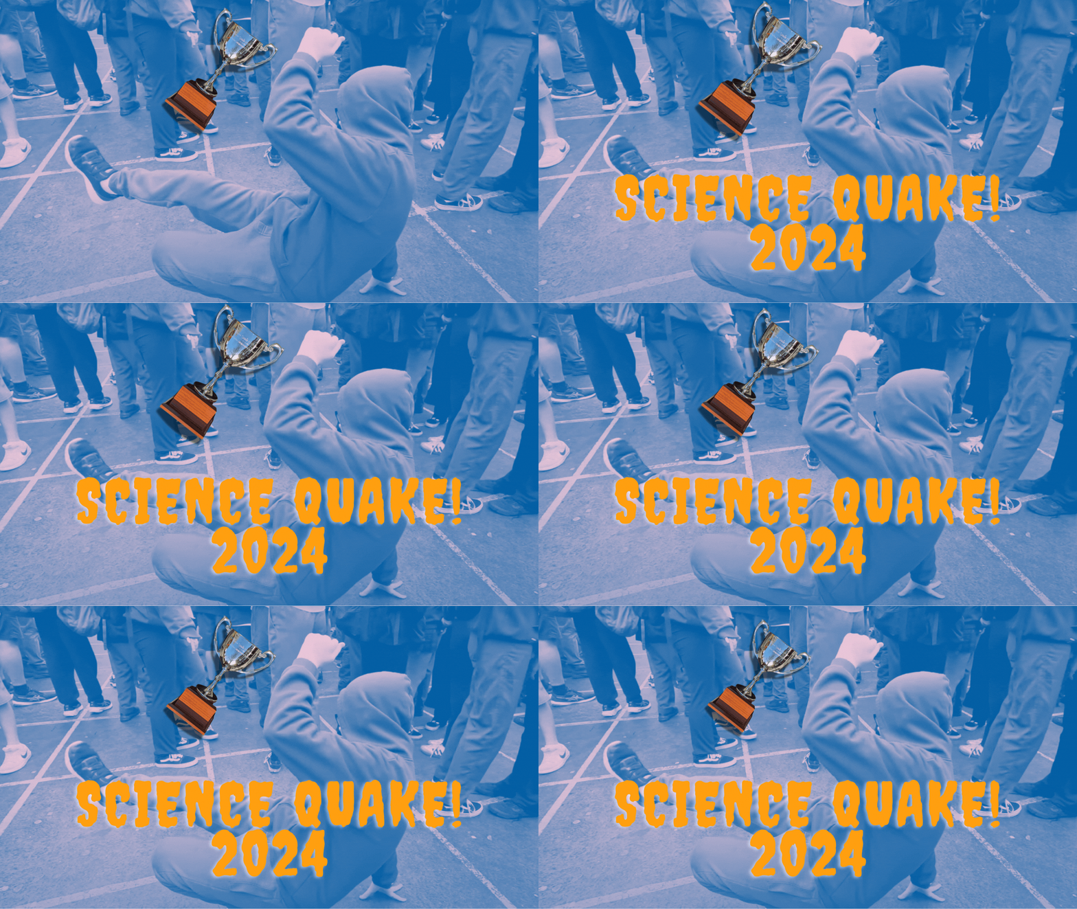
Australian Seismometers in Schools is calling on the 50 schools across the country that are part of our program to record a footquake during National Science week on their school seismometers. Participating schools will shake the ground by jumping up and down. The signals are recorded at the schools and on our seismic network. Stay tuned for the results.
Engagement
AuSIS regularly engages with schools across the country. In addition to deploying earthquake-measuring seismometers and educational resources, our team conducts interactive workshops and visits schools to provide hands-on learning experiences. These engaging sessions allow students to interact directly with seismological equipment, fostering a deeper understanding of Earth's dynamics.
By taking our educational initiatives on the road and into the classroom, we aim to inspire the next generation of geoscientists while creating a sense of wonder and curiosity about our ever-evolving planet.
The Australian Seismometers in Schools project aims to:
Raise community awareness of regional earthquakes;
Raise awareness of seismology and, more generally, geoscience as a field of study;
Promote science as a possible career choice;
Provide a tool to teachers to assist in teaching physics and earth science to high school students.
Impact and achievements
Data collected from the seismometers in schools is used by a wide variety of people, including government agencies who monitor earthquakes and researchers who study the internal structure of the earth. Earthquake monitoring agencies that use AuSIS data:
Geoscience Australia, Seismological Research Centre and Geological Survey of South Australia.
Studies published with AuSIS data include:
Sippl et al., 2016, New constraints on the current stress field and seismic velocity structure of the eastern Yilgarn Craton from mechanisms of local earthquakes, Australian Journal of Earth Sciences.
Kennett, Saygin, and Salmon, 2015, Stacking autocorrelograms to map Moho depth with high spatial resolution in southeastern Australia, Geophys. Res. Lett.
Yuan, 2015, Secular change in Archaean crust formation recorded in Western Australia, Nature Geoscience, 8, 808-813.
Distribution of AuSIS seismometers (left) and earthquakes across Australia from historical and instrumental catalogues (right). Image: ©ANU, 2018.
News
PROGRAM LEADER
Prof. Malcolm Sambridge
Australian National University
Program Support
Dr Sima Mousavi & Dr David Heslop
Australian National University
DURATION
Since 2011
QUICK LINKS
AuSIS website, Facebook, Instagram
and Twitter pages
IN THE MEDIA


