The National Collaborative Research Infrastructure Strategy, or NCRIS, has been in the news quite a lot of late.
Read MoreHave you ever wondered what is? Or how long the journey to the centre takes?
In what has been described as a 80 year holy grail mission, scientists or more specifically seismologists discovered what lies in the epicentre of Earth.
Professor Hrvoje Tkalčić head of Geophysics at ANU and Lauren Wasze, a global seismologist at James Cook University speak to Suzanne Hill about the inner layers of planet Earth.
Read MoreProfessor Meghan S. Miller talks about her research into critical tectonic plate boundaries, in particular, subduction zones where oceanic plates are descending into the Earth’s deep interior (e.g. Indonesia, Alaska, Japan, Italy). Her research asks questions such as, How has the outermost layer of the Earth evolved? How do processes and structures deep within the Earth control the geology we can observe at the surface?
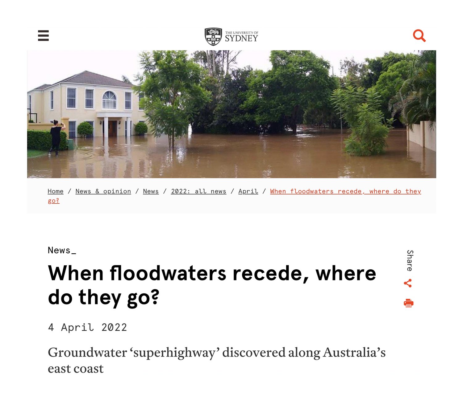
Read MoreUniversity of Sydney researchers have identified a groundwater ‘superhighway’ along Australia’s east coast. Stretching from Canberra to Brisbane, the flow of water connects aquifers (underground layers of water-bearing permeable rock) that stretch for thousands of kilometres.
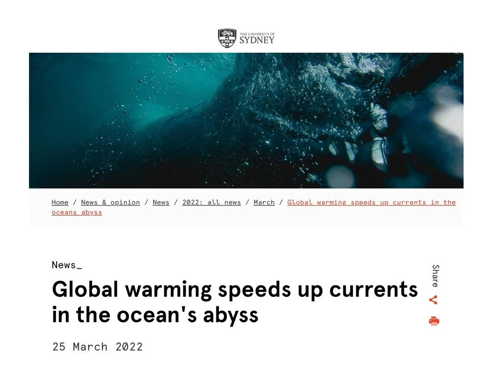
Read MoreUniversity of Sydney scientists have used the geological record of the deep sea to discover that past global warming has sped up deep ocean circulation. This is one of the missing links for predicting how future climate change may affect heat and carbon capture by the oceans.
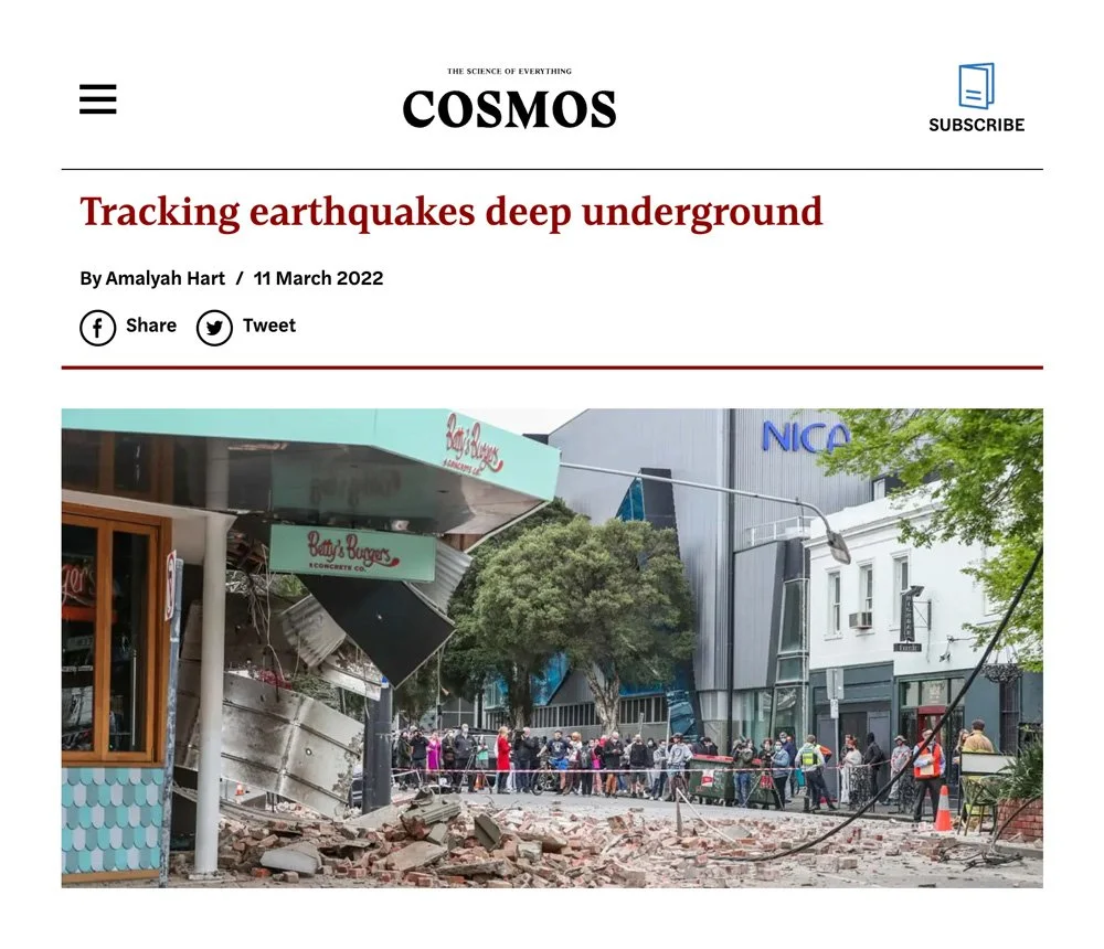
Read More[Subscribers Only] As well as providing vital insights into the risks from future earthquakes, Australia’s most sophisticated seismic network, run by Melbourne University, may also have a role to play in climate change mitigation. By Amalyah Hart.
Read MoreVictoria hosts arguably Australia’s most sophisticated seismic network for detecting and mapping earthquakes. But why does Australia need earthquake mapping?
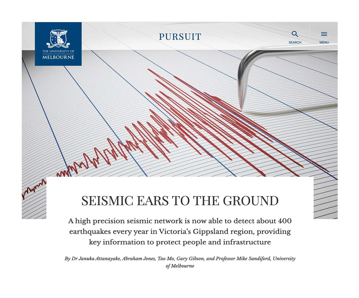
Read MoreA high precision seismic network is now able to detect about 400 earthquakes every year in Victoria’s Gippsland region, providing key information to protect people and infrastructure
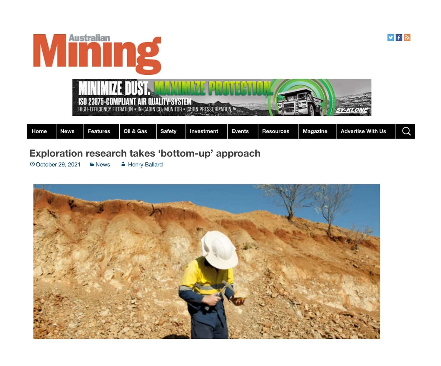
Read MoreGeoscience Australia has released an electrical conductivity model for northern Australia, enabling a deeper understanding of mineral compositions hundreds of kilometres below the surface.
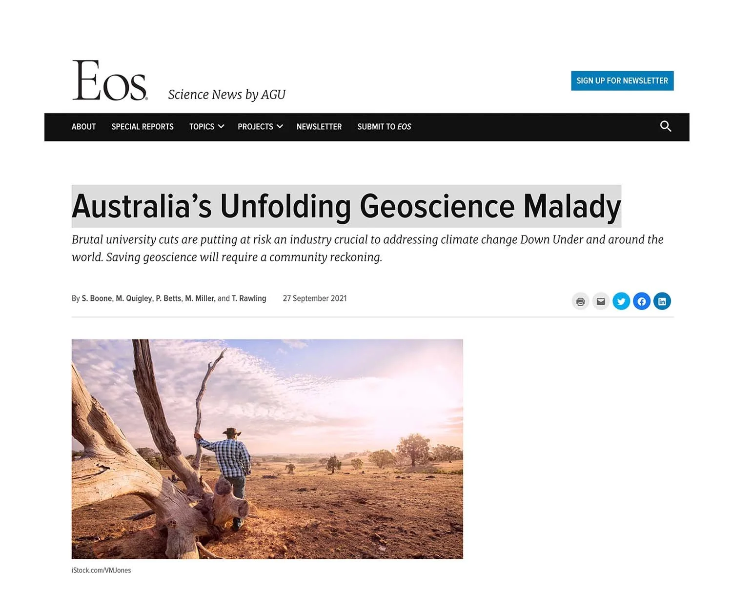
Read MoreBrutal university cuts are putting at risk an industry crucial to addressing climate change Down Under and around the world. Saving geoscience will require a community reckoning.
Read MoreMore than 100 countries, including the United States and members of the European Union, have committed to net-zero carbon emissions by 2050. The world is going to need a lot of metal, particularly copper.
Read MoreAfter years of building NCRIS enabled software to address geodynamics problems, researcher and AuScoper from The University of Melbourne, Rohan Byrne, found an opportunity to turn his Everest code to help model COVID-19 mobility data during Melbourne’s 2020 and 2021 lockdown periods.
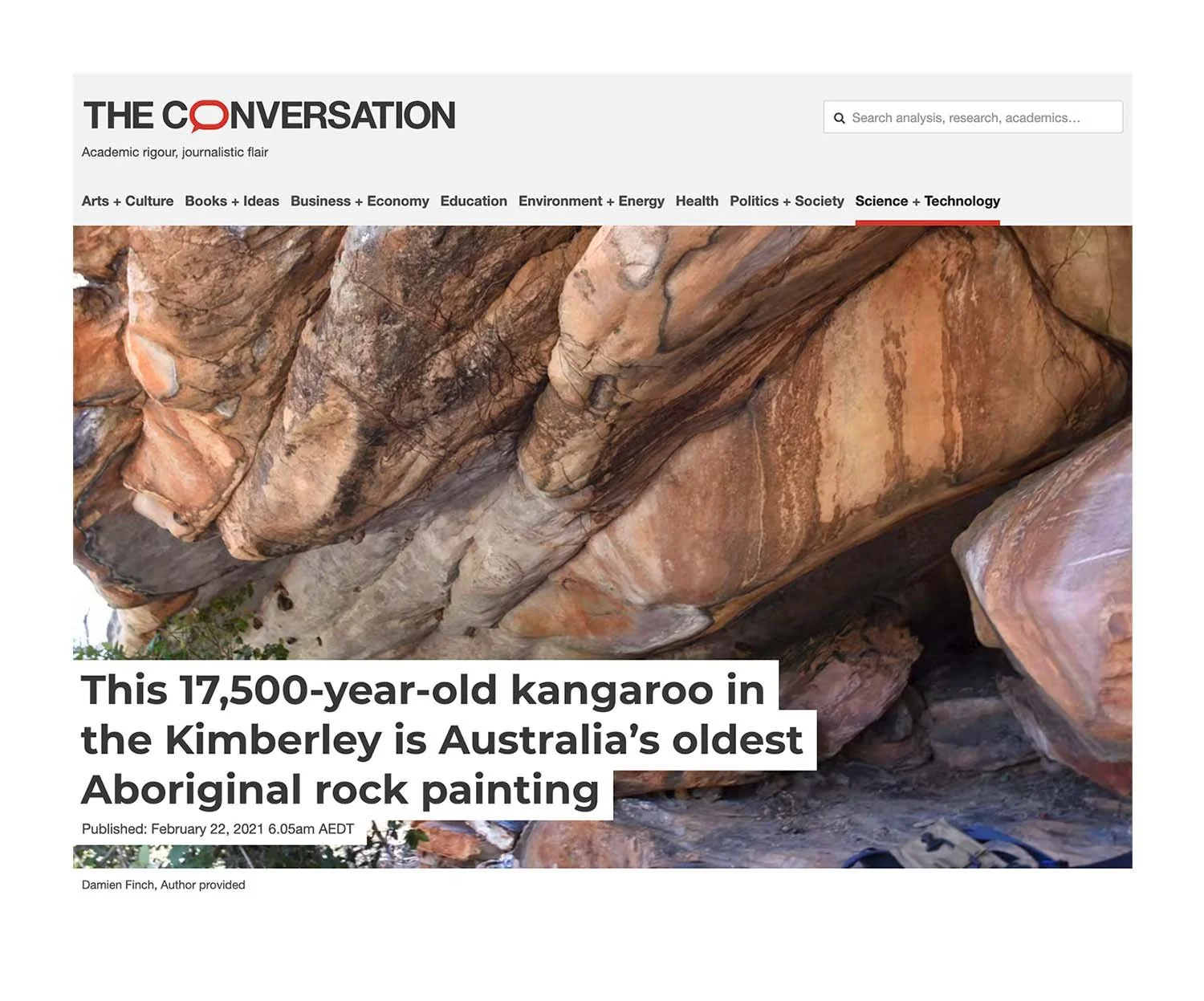
Read MoreIn a paper published today in Nature Human Behaviour, researchers from The University of Melbourne and The University of Western Australia use a pioneering, AuScope enabled radiocarbon dating technique to date the artwork as being between 17,500 and 17,100 years old — making it Australia’s oldest known in-situ rock painting.
Read MoreA new simulation offers a different view of how the continents we live on drifted into their current configuration.
Read MoreThe landscape of eastern Australia is dotted with hundreds of extinct volcanoes. They gave rise to an environment to which Aboriginal people have been connected for tens of thousands of years, and the rich soils upon which modern Australia has grown in the last few hundred years.
Read MoreOur responses to the COVID-19 pandemic have dramatically changed human activity all over the world. People are working from home, schools are closed in many places, travel is restricted, and in some cases only essential shops and businesses are open.
Read More


