Announcing the winners of AuScope’s 2024 Opportunity Fund. This initiative funds research projects to boost earth science infrastructure capacity and access.
Read MoreAuScope team Professor Anya Reading, Dr Voon Hui Lai, and Associate Professor Steven Micklethwaite attended SMP2024 to discuss glacier retreats, earthquakes, and coastal erosion with policymakers.
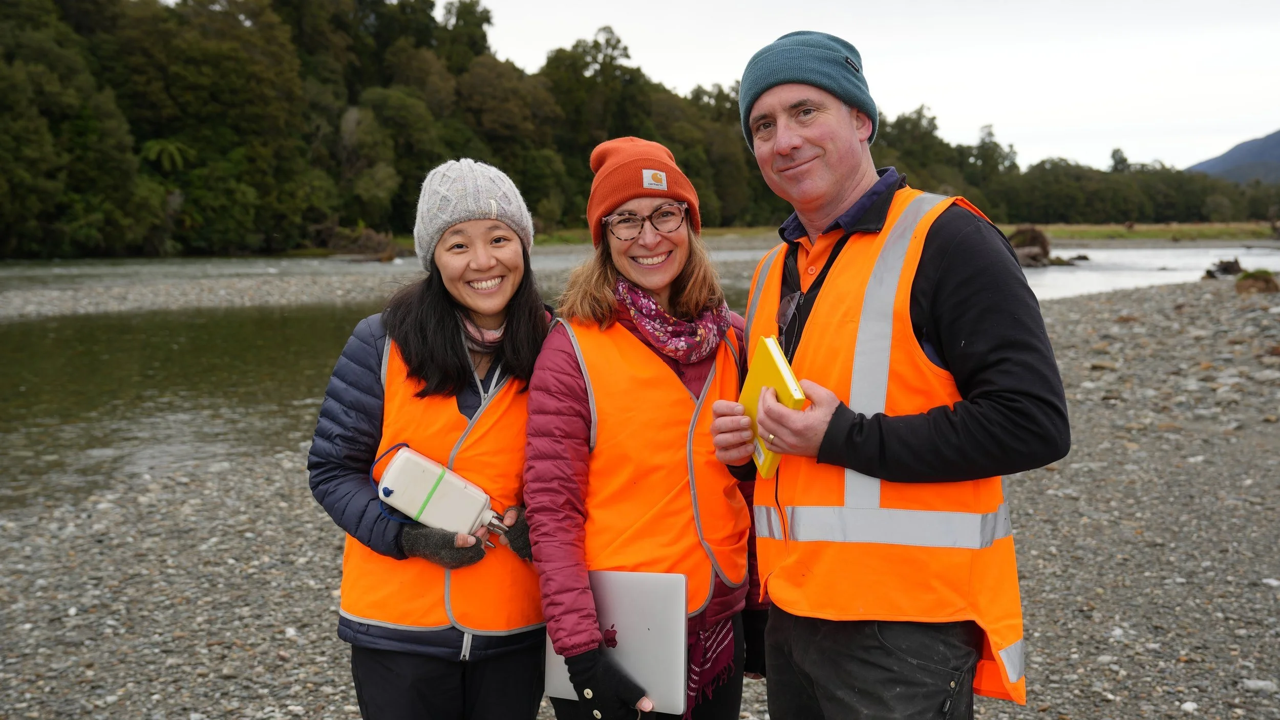
Read MoreA new NCRIS enabled cross-disciplinary collaboration between AuScope and TERN is applying cutting-edge geophysical sensor technology to biological ecosystem research.
Read MoreCan natural emissions of hydrogen from the Earth be a new energy source for the future? The ‘NCRIS enabled’ AuScope Earth Imaging teams aim to cast light on where hydrogen is sourced, how it moves to the surface and where industry can target exploration drilling to commercialise this low-cost clean energy resource.
Read MoreScientists from the Research School of Earth Sciences (RSES) at the Australian National University and Victoria University of Wellington, in collaboration with Chorus, New Zealand's leading broadband provider, are using NCRIS-enabled instrumentation to tap into the country’s telecommunication network to capture seismic data in new detail.
Read MoreBelay Gulte Mino and Dr Graeme Beardsmore utilise NCRIS resources to advance global heat flow data and explore geothermal energy, with the potential to create a globally impactful heat flow map of Ethiopia.
Read MoreThe 2023 Australian Earth Sciences Convention (AESC) held on Noongar Whadjuk boodja (country), will feature new geoscience insights from the Australian lithosphere to Earth's evolution and resources. Join us for NCRIS talks, workshops, presentations, and a shared booth with ANZIC.
Read MoreNational Science Week 2022 is here! We are excited to join Australia’s science community, by celebrating our nation’s diverse geoscience talent, technology and tools. Here we share our two events: Asteroids to Oceans (an NCRIS collaboration) and Immersive Earth (an online arts-science experience).
Read MoreHave the wilderness adventures of Bear Grylls, Survivor or Alone on TV captured your imagination? If so, it’s time to change channels and join Dr Kate Selway on a trip to Greenland to undertake critical climate change monitoring.
Read MoreAuScope’s Earth Imaging & Sounding team, along with industry and academia are testing new three-node senses during an NCRIS enabled survey that aims to discover, in greater detail, the hidden depths of the Canning Basin.
Read MoreHeat flow data provide us with unique insights about how the Earth moves; from the churning interior to the rise of mountains and the jostling of tectonic plates. To help understand our future on this dynamic planet AuScope is enabling NCRIS to develop breakthrough heat flow research infrastructure.
Read MoreLast week, our wonderful AuScope technical officer, Goran Boren won The University of Adelaide’s Faculty of Sciences Professional staff member of 2020. Our technical staff are often the unsung heroes of all our projects and programs, and without Goran we would have no magnetotelluric (MT) program. Here, Goran’s collaborators over the years shine a light on his extraordinary work over the years.
Read MoreJust over a year ago, an international team of scientists prepared to image Macquarie Ridge — a unique underwater geological landscape that evolves where tectonic plates converge and shake vigorously. And then COVID-19 hit. Today, with rigorous health protocols in place, the Australian portion of the team departs from Hobart, taking us with them!
Read MoreRecently, AuScope invested in a suite of Large-N or nodal seismometers, which are capable of recording seismic noise at local-, rather than regional-, scale, allowing seismologists to focus on imaging geological features like faults and aquifers.
Read MoreWe are excited to announce $700K of funding for a collaborative research infrastructure project in the Curnamona Province located across South Australia and New South Wales, between 2020 and 2022. This creates a golden opportunity to map an entire geological province in 3D to help find new deposits of Critical Minerals.
Read MoreRecently, researchers from the ANU prepared a suite of NCRIS-enabled ocean bottom seismometers (OBS) to image the 3D structure of the Macquarie Ridge Complex — an underwater geological landscape where three tectonic plates collide.
Read MoreIn November, an international team of scientists, led by AuScope’s Earth Imaging group at the University of Adelaide, set out to obtain new AusLAMP MT sites on the seafloor of the Spencer Gulf in South Australia — a missing piece of the larger Gawler Craton puzzle. Here’s why that matters.
Read MoreScientists from the Geological Survey of Victoria (GSV) discover that Victoria’s scenic high country continues to be influenced by New Zealand as trans-Tasman tectonic pressure, as it drives up the mountain range. This insight comes from data gathered in new, deep crustal seismic reflection survey enabled* by AuScope.
Read MoreResearchers from the ANU are thrilled to announce that AusPass has just become the first FDSN data centre in Oceania. Scientists can now access extensive Australian seismology datasets from anywhere in the world.
Read MoreSince 2013, geophysicists have systematically surveyed the Australian crust and mantle. Recently, the AusLAMP team celebrated completing the South Australian portion of the project, shining a light on potential ore deposits ‘hiding’ at depth.
Read More


